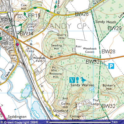
Footpath
15
Distance c.430m. Direction a curving path roughly N – S, W – E, SW – NE, SW – NW and N
48
Footpath 15 starts beside the fence alongside the Great North
Eastern railway line immediately below the Recreation ground on top of the 56 metre
high Pinnacles (TL 177492). It is probable that a footpath started on Sand
Lane, just east of the railway bridge (TL 177493) but the steepness of the bank
prompted its removal, There is an unmarked path that cuts southwards through
the trees towards the railway line. However, it is very steep. The official
footpath runs for about 100 metres south until it reaches the bottom of the
steps of the railway bridge (TL 177491).
49
Although a path goes straight up the hill from here,
the marked footpath continues for about fifty metres before turning northeast
to meet the previous path at the edge of the wood. It then ascends a steep
slope of about 1:10 through the trees to a patch of open ground on the top of
the ridge. There are paths across through the copses to the open grassed area
where a stunning view across Sandy and the Ivel valley can be had. A seat
provides some respite after the climb. Although there are other paths north to
the Sand Road, if you go back to rejoin the footpath it then turns northwest
and goes through more woodland to meet Sand Road (TL 179483).